Map Module
The map module allows Mother to visualize the positions of all grids and waypoints in the Almanac. This provides players with a spacial representation of all grids running Mother Core, and communicating via the antenna network.
Viewing the Map
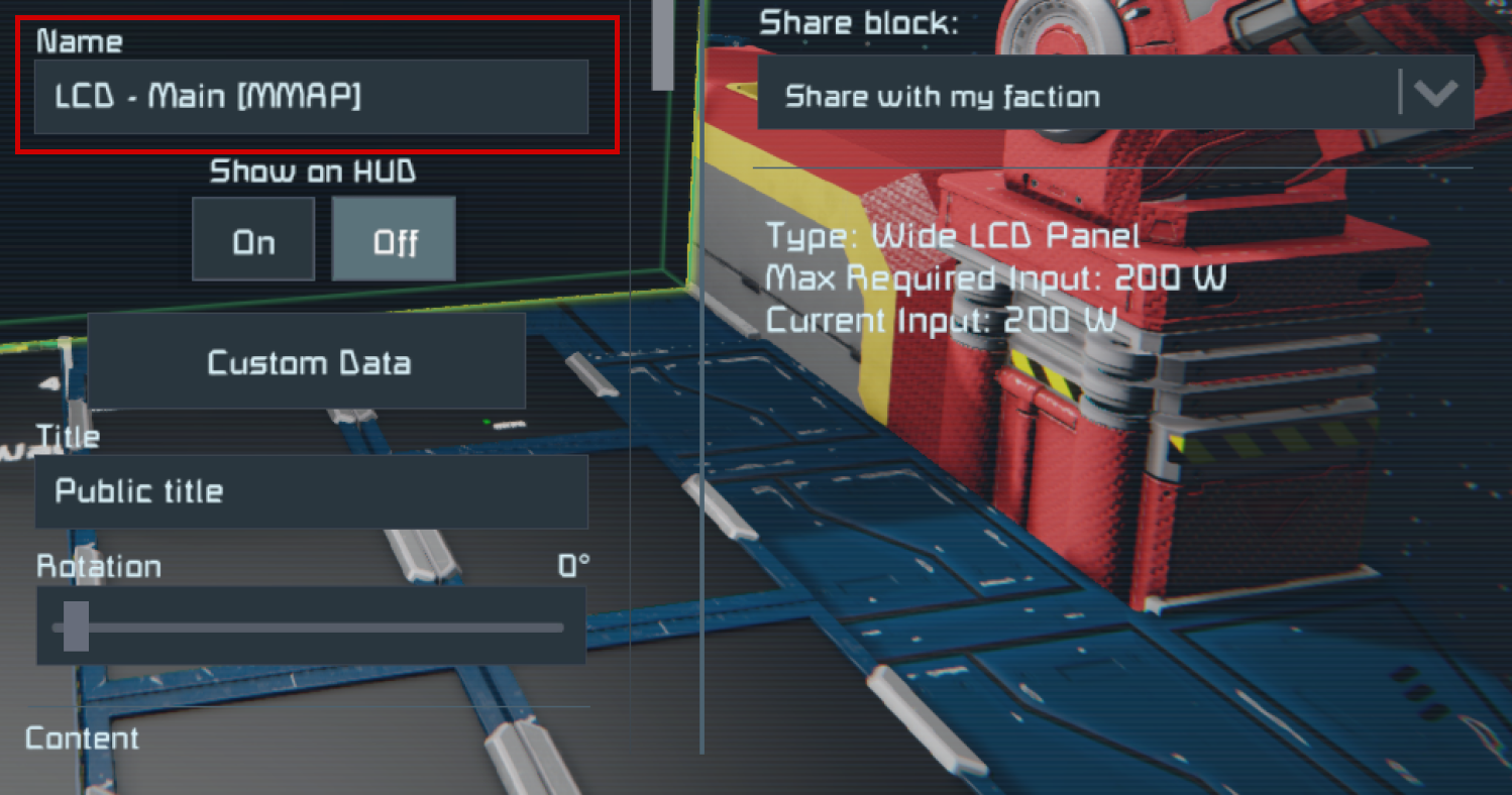
Mother can render a map showing all grids and waypoints in the Almanac. Simply add [MMAP] to the end of your LCD name and reboot Mother using the boot command. The projection will automatically update.
You can target individual cockpit screens by targeting a screen index - [MMAP:1].
Filtering the Map
Players can filter which grids are shown on the map by using the filter configration. This setting uses a whitelist/blacklist and supports both grid names, as well as communication channels.
Let's imagine our grid is currently communicating on the following channels, with the following grids:
*- Public ChannelSurveyDroneDrillShip1
MyFaction- Private ChannelMothershipCorvette
Whitelisting
If we want to only include specific grids, or channels, we can use a + symbol:
[general]
; show only the Survey Drone grid, or
filter=+SurveyDrone
; show only MyFaction channel, or
filter=+MyFaction
; show only the Survey Drone grid, and MyFaction channel
filter=+SurveyDrone +MyFaction
Blacklisting
If we want to exclude specific grids, or channels, we can use a - symbol. All other grids will be shown.
[general]
; exclude the Survey Drone grid, or
filter=-SurveyDrone
; exclude MyFaction channel, or
filter=-MyFaction
; exclude the Survey Drone grid, and MyFaction channel
filter=-SurveyDrone -MyFaction
Configuration
| Key | Value | Description |
|---|---|---|
filter | string | A space separated list of grids and channels to include or exclude from the map. Use + to include, and - to exclude. Defaults to all grids and channels. |
mapScale | decimal | Set the map scale in meters. Defaults to 100m. |
center | string | The point that the map should center on. You can use the full GPS string, the X,Y,Z portions of a GPS string, or use the name of a grid/waypoint if present in the Almanac. |
mode | 2D, 3D | Whether the map should render in 2D or 3D. NOTE: 3D map rendering is experimental and will change in future updates. In most cases is will not be reliable for navigation. |
Example
[general]
;filter grids
filter=+MyFaction +SurveyDrone

;the scale of the rendered map in meters
mapScale=150

; full GPS String or;
center=GPS:Mothership:227039.09:226939.44:227134.75:#FF75C9F1:
; partial GPS String or;
center=227039.09:226939.44:227134.75
; grid name
center=Mothership

; render mode
mode=2D